History of Armenia through Maps
- product : History of Armenia through Maps
- Product Code : 2522
- author(s): Rouben Galichian
- pages count : 92
- cover : soft
- size : 21 x 24
- edition : 500
- language : Armenian
- year : 2019
- publish : Zangak
- condition : new
- Price: (AMD) 6000
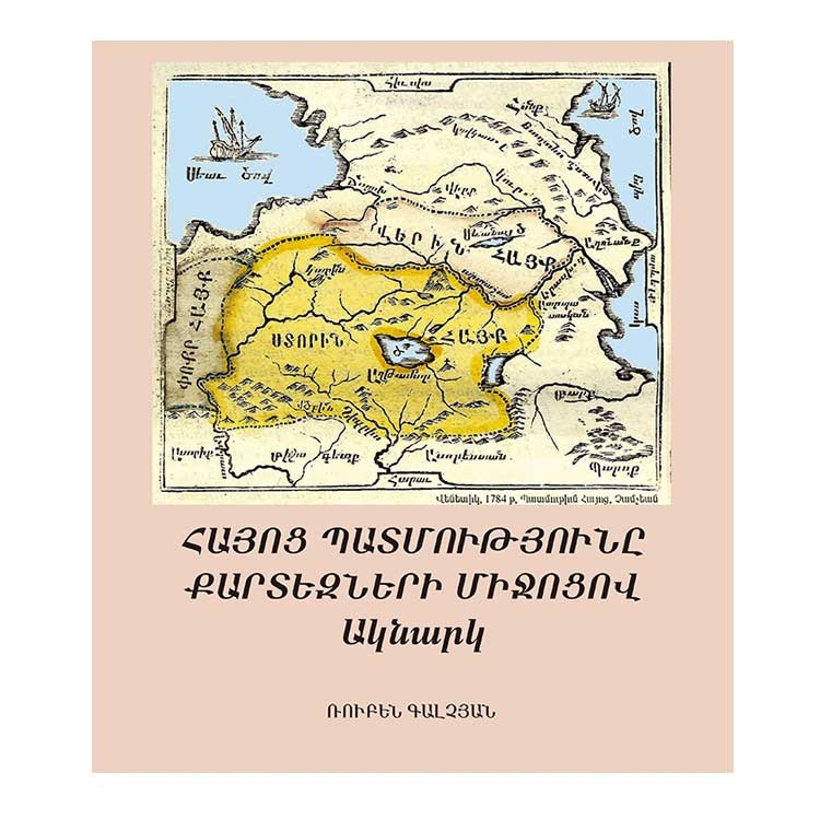
A Glance has been prepared as catalogue for the exhibition of Historic Maps of Armenia, which exposed the history or, at least, instances of Armenian history through maps. The original version of this work was published in English entitled A Glance into the History of Armenia through Cartographic Records. The book contains reproductions of maps which provide evidence of Armenia and its location provided by the maps of internationally important and renowned cartographers. They provide a window into the ups and downs of Armenia’s history, as recorded in others’ maps. These maps are actual documents prepared by the hands of the well-known masters and craftsmen of the time. This publication provides information for those, who are interested in the history and geography of the region by noting the effects of some of the historic developments through studying the maps; events, which have affected the lives of the Armenians living in their historic lands. It is important to note that even when Armenians did not have an independent state, all cartographers name the territory of Historic Armenia from Kura and to eastern Euphrates as Armenia, for the simple reason that on these lands dwelt Armenians, who were ethnically cleanse by the Genocide of 1915-1923 perpetrated by Ottoman Turkey.
Write a review


